The best time to observe the “Wild Life” along the Alaska Highway is early morning. We made the effort this morning and were rolling by 7:30. During the day we crossed the summit of the Canadian Rockies at 4,250 feet. We pulled some nine percent grades, and although the highway was narrow and without shoulders we were able to drive on smooth paved roads with only an occasional rough spot, and these were always well marked. We have been cruising at about 50 mph in these mountains. Perhaps just a tad slower on the nine percent grades.
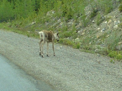
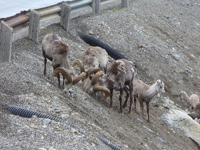
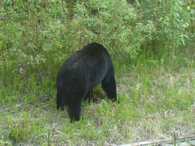
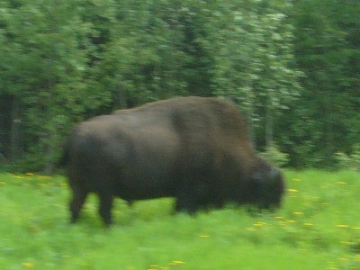
Today our reward was sighting several of the area wild life. Our first sighting was a caribou sauntering along the shoulder of the road. Apparently they are attracted to the pavement to lick for salt. Judy got a good picture through the windshield. Next we passed some Stone Sheep. These had some really impressive curled horns. They also were right beside the pavement. I was able to get off the road so Judy walked back and got some excellent photos. Me, I sat and kept my foot on the brakes. I don’t trust the parking brake on those mountain grades. We saw another solo caribou and then a black bear alongside the highway. Several Bison were grazing the grasses along the right-of-way and then Judy spotted a Moose across the lake at Toad River Lodge. Our poor 6x zoom pulled him so close he looked like a good sized mosquito. We won’t take up space on the web site for that one, but there will be a collection of some of the best of our pictures below.
We are at the very north end of British Columbia. Tomorrow we cross into the Yukon Territory. I hope to post this at the Information Centre in Watson Lake. This is the famous crossroads where there are thousands of road signs from many passing tourists.
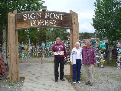
They place a sign from their home town. We spent the evening creating our own sign.
We didn’t get internet Friday night so this will go one more day. We had a real treat today; we were able to get a close up view and photos of a grisly bear beside the highway near Watson Lake, Yukon. No! I didn’t get a photo of me petting him. We then stopped and screwed our sign to a new post in the Sign Forest in Watson Lake. It says “Lake Havasu City, AZ; 1633 nm: Scappoose, Or; 886 nm. I used the Flight Simulator Program to find the great circle route distances.
Friday night we boondocked beside Smart Creek just off the highway about half way from Watson Lake to White Horse, Yukon Territory. We keep hearing from other travelers that we have an ugly stretch of road north of White Horse, so we will probably have a couple very slow days. The roads have been terrific up to this point.
Good bye for now, Gary, Judy, Sonja and Jack.

